Projects » Erosion
Pooley Bridge Gets Its Bridge Back
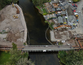
On December the 6th 2015, during storm Desmond, substantial flooding in Cumbria resulted in the loss of the masonry arch bridge within the village of Pooley Bridge. The original bridge was erected in 1764 (itself replacing an earlier bridge from the 16th century) and was positioned at the outlet of… ∞
Cambrian Quarry – New life for former ‘Vim’ quarry
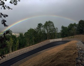
The geology to the west of Mold in North Wales has a long history of extractive industries. Mineralised veins within the rocks have been mined for lead, and mine voids have been used for drainage and storage, including munitions and explosives. At Cambrian Quarry in Gwernymynydd, underground workings extracted the… ∞
Ben Gill, Cumbria – Back to Nature
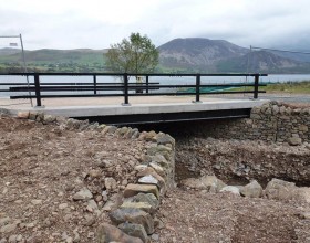
Engineering work on the weir of Ennerdale Water in the 1950s raised the level of the lake, increasing its storage capacity and ensuring a more secure potable water supply. As part of this work, one of the tributaries of the River Ehen (Ben Gill) was diverted to Ennerdale Water via… ∞
Eltham Embankment Stabilisation
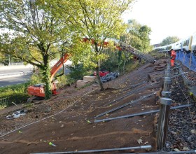
Evidence of both deep seated and shallow instability had been reported on the Down slope of the Eltham embankment located approximately 300m to the west of Eltham Station between Eltham and Kidbrooke stations at ELR: BEX 8m 61.5ch to 8m 70ch. Remedial works in the form of soil nailing, track… ∞
Milwr Tunnel
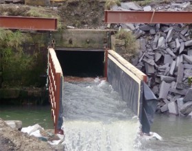
Milwr Tunnel is a mine drainage adit extending 10 miles from Cadole near Loggerheads, Denbighshire to Bagillt on the Dee Estuary in North Wales. The tunnel outfall is located approximately 100m inland from the banks of the River Dee and water flows to the Dee via a 18m wide 6m… ∞